Cases

WorldCereal: worldwide seasonal temporary cropland and crop type mapping

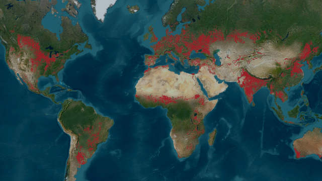
WorldCereal is the world’s first dynamic system to provide seasonally-updated temporary cropland and crop type maps at 10 m resolution at global scale. Discover more about the production of the system, access of the data and use of the WorldCereal maps to help monitor agricultural production across the world.

Continental crop type mapping with openEO

This case explains how you can use openEO to produce continental crop type maps. Discover more about the possibilities, setup and challenges.

Remote sensing solutions for water management

Discover how Rijkswaterstaat (the Ministry of Infrastructure and Water Management in The Netherlands) uses remote sensing solutions to monitor water surfaces.

WorldCover: worldwide land cover mapping

Discover more about WorldCover, the global land cover products at 10 m resolution for 2020 and 2021 based on Sentinel-1 and Sentinel-2 data.

TerraFlood use case

TerraFlood: mapping and monitoring floods using Sentinel-1 data

TerraFlood is a Virtual Machine application to provides spatially consistent flood observations independent of weather conditions.

Case cropmap

Cropmap: never guess at crops again

Cropmap: all Belgian arable land in one app

Watchitgrow

WatchITgrow improves cultivation with satellites

WatchITgrow: Digital crop monitoring to increase yields, both quantitatively and qualitatively.

stay up to date!
subscribeto our newsletter
new perspectives

Stay up to date!