WorldCover
Global land cover map at 10 m resolution
Monitoring global land cover changes is essential in managing the Earth's natural capital such as soils, forests, water resources and biodiversity. Given the changing state of this natural capital, the need for timely, accurate and high resolution land cover information is more pressing than ever.
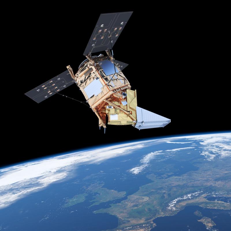
In October 2021 ESA's WorldCover consortium released a brand new and freely accessible global land cover map at 10 m resolution for 2020, based on both Sentinel-1 and Sentinel-2 data. One year later the WorldCover team released WorldCover 2021, a new and improved version of the product for 2021 with even higher quality! The WorldCover maps are available via a dedicated online viewer. You can view and download data, access area statistics, compare regions and countries and send user feedback. Terrascope connected with WorldCover to expand its reach and offer access to the different products.
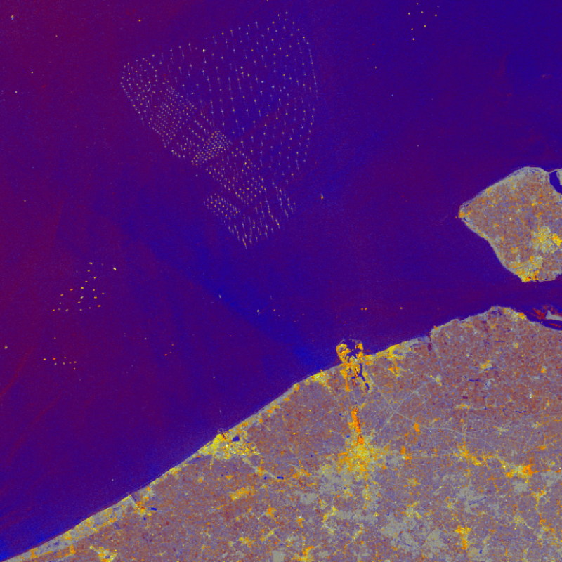
Since June 2023 you can also access the WorldCover annual composites, a set of yearly median and percentiles composites at 10 m resolution, derived from the Copernicus Sentinel-1 and Sentinel-2 archives, for the years 2020 and 2021. The products can be visualized and explored using the WorldCover viewer. WMS layers are also available from the Terrascope WMS service.
WorldCover Map
- global coverage
- land cover map of 2020 and 2021
- spatial resolution of 10 m
- 11 land cover classes
- overall accuracy of 74,7 - 76,7 %
WorldCover Annual Composites
- Sentinel-2 RGBNIR median composite
- Sentinel-2 SWIR median composite
- Sentinel-2 NDVI percentiles composite
- Sentinel-1 GAMMA0 median composite
Copernicus Land Monitoring service
Satellite and sensor collaboration
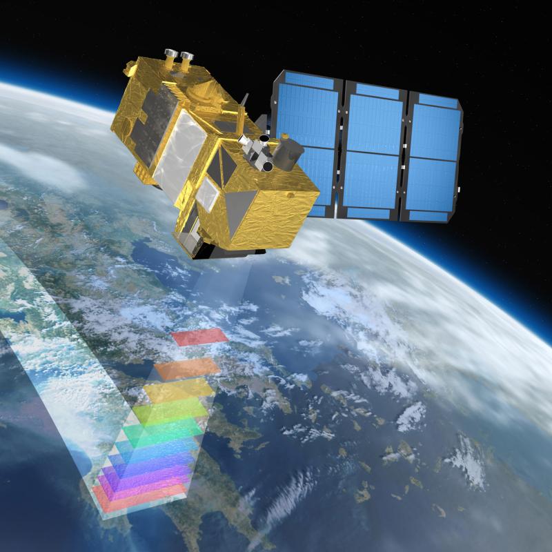
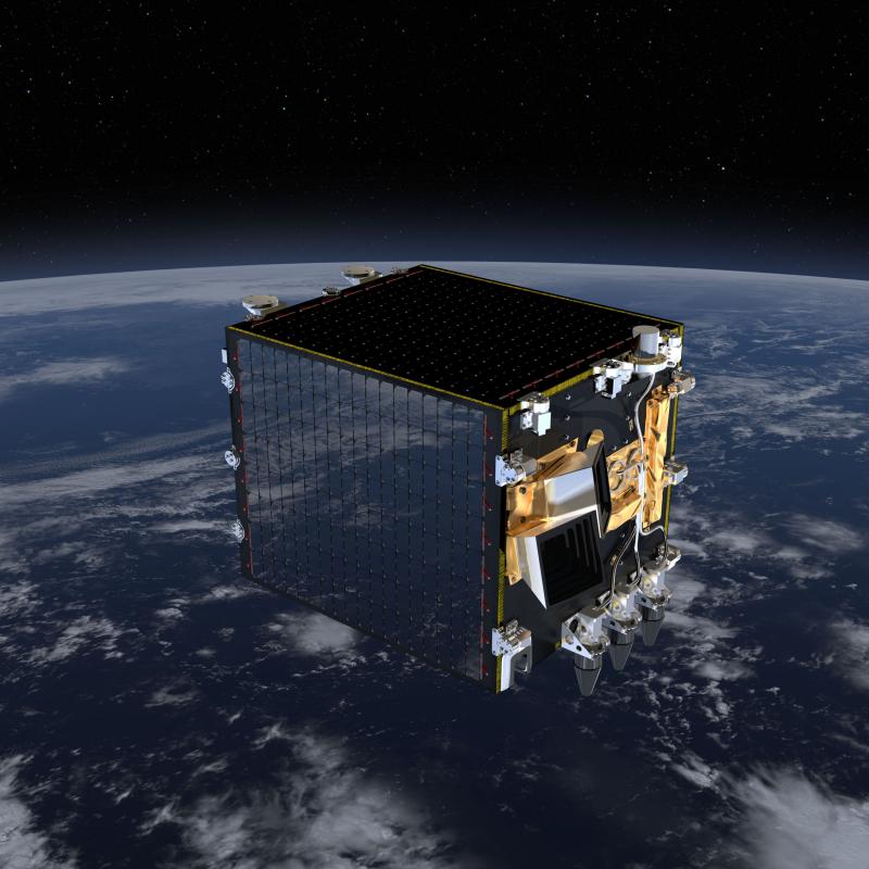
Copernicus Land Monitoring Service combines data from PROBA-V and data from sensor networks on the earth’s surface. This results in up-to-date geographical information, intended for water and forest management, agriculture and food safety, nature conservation and spatial planning, to name a few.
LAI (Leaf Area Index)
- shows how dense the vegetation cover is, so it is biomass indicator
- synthesis over 10 days
- resolution of 300 metres
fAPAR (Fraction of Absorbed Photosynthetically Active Radiation)
- shows the photosynthesis activity for green vegetation
- synthesis over 10 days
- resolution of 300 metres
Copernicus Digital Elevation Model
Three-dimensional (3D) representations of the Earth's surface
The Copernicus Digital Elevation Model is a pixel based representation of the ground surface topography with respect to the Earth Gravitational Model 2008 geoid. It covers all land masses, including buildings, infrastructure, and vegetation, and is used for geocorrection of satellite imagery, and as a data source for e.g. hydrological modeling and disaster risk management.
The Copernicus DEM is delivered in 3 different instances, named EEA-10, GLO-30 and GLO-90, which have different resolutions, different geographic extents and different formats. Within Terrascope, we provide access to the two publicly available versions of the Copernicus DEM, GLO-30 and GLO-90. It is provided in tiles of 1° latitude and 1° longitude, and in Cloud Optimized GEOTIFF format.
GLO-90
- Global coverage
- Point spacing of about 90 m
GLO-30
- Almost global coverage
- Point spacing of about 30 m
