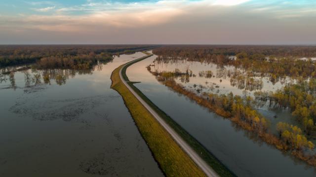
Huge water surfaces observed at once
Dikes and quays remain in excellent condition
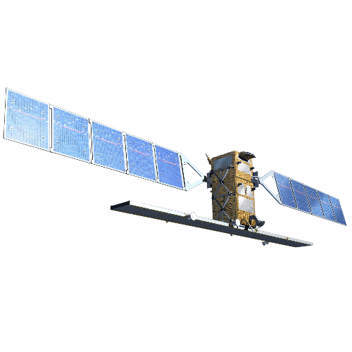
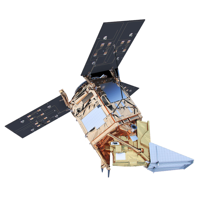
With thorough analysis of radar data, movements of only a few millimetres a year can be detected. So you know when it is time for stabilisation works on quays, locks or dikes.
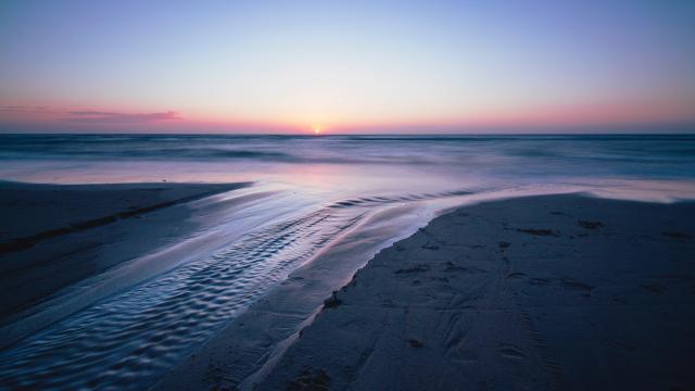
Ample overview of water quality
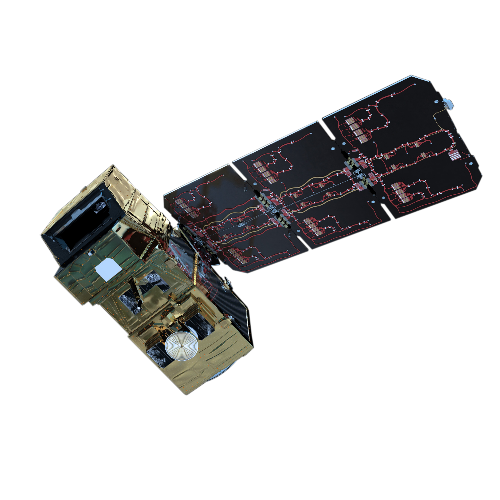
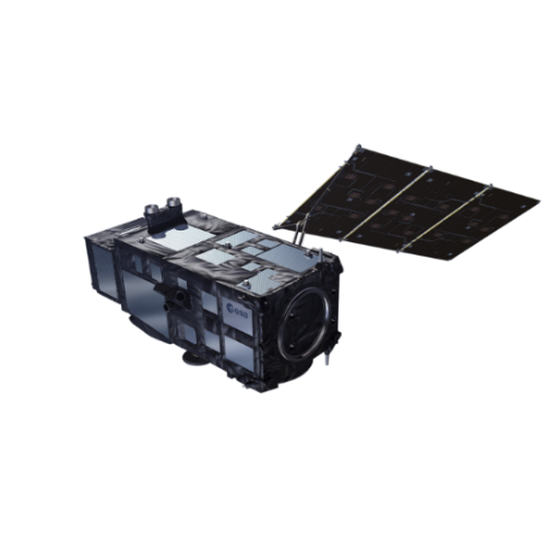
Optical satellite imagery tells you a lot about water quality: for example, is it polluted by oil, or are harmful algae present? Combined with local sampling, your vision is complete.
Data for authorities, engineers and dredgers
Satellite data serves several purposes: authorities simply track marine traffic and map flood plains. Dredging companies are subsequently able to check how much sediment they dislodge.
WaterMonitor maps a large number of Flemish water bodies


