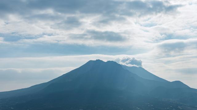
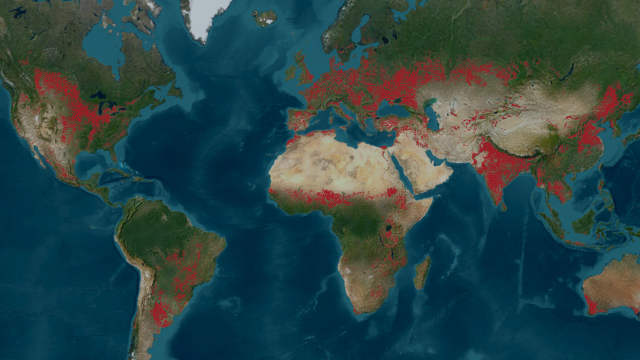
Cases

WorldCereal: worldwide seasonal temporary cropland and crop type mapping

WorldCereal is the world’s first dynamic system to provide seasonally-updated temporary cropland and crop type maps at 10 m resolution at global scale. Discover more about the production of the system, access of the data and use of the WorldCereal maps to help monitor agricultural production across the world.

Monitoring the impact of wildfires on the air quality with Sentinel-5P

Although wildfires are a natural phenomenon, they have shown to be particularly intense around the world in recent years, causing large emissions that can have significant impact on our environment and public health. Canada for example has suffered several devastating wildfires. Discover more about the available Sentinel-5P air quality data to monitor e.g. toxic gases like formaldehyde and facilitate a quick response.

Continental crop type mapping with openEO

This case explains how you can use openEO to produce continental crop type maps. Discover more about the possibilities, setup and challenges.

Monitoring wind speed with Sentinel-1

Wind is a key resource to enable the green energy transition and stop the emission of greenhouse gasses that is driving climate change. Discover how the Sentinel-1 wind speed and direction observations provide insights into ocean wind patterns.

Remote sensing solutions for water management

Discover how Rijkswaterstaat (the Ministry of Infrastructure and Water Management in The Netherlands) uses remote sensing solutions to monitor water surfaces.

Urban Heat Island mapping with combined Sentinel-2 and Sentinel-3 observations

Discover a preview application which combines Sentinel-3-derived Land Surface Temperature and Sentinel-2 reflectance data for Urban Heat Island effects.

WorldCover: worldwide land cover mapping

Discover more about WorldCover, the global land cover products at 10 m resolution for 2020 and 2021 based on Sentinel-1 and Sentinel-2 data.

Monitoring deformation of bridges using Sentinel-1

In the MOSCI project, IMDC and VITO looked into the feasibility of using InSAR technology to monitor deformation of large structures. This remote sensing technology uses freely available Sentinel-1 data which allows us to monitor e.g. hundreds of bridges at the same time.

SARSAR case

Automatic redevelopment sites monitoring using Sentinel data

Sentinel-1 and Sentinel-2 data for urban planning and land management.

TerraFlood use case

TerraFlood: mapping and monitoring floods using Sentinel-1 data

TerraFlood is a Virtual Machine application to provides spatially consistent flood observations independent of weather conditions.

stay up to date!
subscribeto our newsletter
new perspectives

Stay up to date!