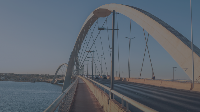
Monitoring deformation of bridges using Sentinel-1
In the MOSCI project, IMDC and VITO looked into the feasibility of using InSAR technology to monitor deformation of large structures. This remote sensing technology uses freely available Sentinel-1 data which allows us to monitor e.g. hundreds of bridges at the same time.
Forecasting and monitoring vector-borne diseases with FARSEER
Discover more about FARSEER, an online tool which uses satellite data from MODIS, VIIRS, PROBA-V and Sentinel to forecast and monitor vector-borne diseases in order to prevent the next outbreak.
The TROPOMI satellite instrument on Sentinel-5P provides daily global pollution measurements. Combined with airborne measurements, we can detect and monitor anthropogenic emissions.
Terrascope uses necessary cookies. In order to optimize your user experience on our website, we also want to use optional cookies for which we ask your permission.