Global vegetation map
PROBA-V, ESA’s small but brave satellite, was launched on May 7, 2013 to bridge the gap between the SPOT VEGETATION and Copernicus Sentinel missions, hereby ensuring continuity in global vegetation monitoring and serving thousands of users worldwide.
PROBA-V monitored our Earth’s surface every day for more than 7 years and provided us over 1 Petabyte of valuable global land cover and vegetation data.
While the operational lifetime of the global PROBA-V mission already ended on 30 June 2020, the vegetation instrument remained capturing the European and African land mass in experimental mode until October 31, 2021.
PROBA-V will remain a valuable data source in many end-user product, including several products of the Copernicus Global Land Service. The entire global PROBA-V archive (16 October 2013 – 30 June 2020) has been reprocessed in 2022-2023 and will remain available, open and free for anyone to use.
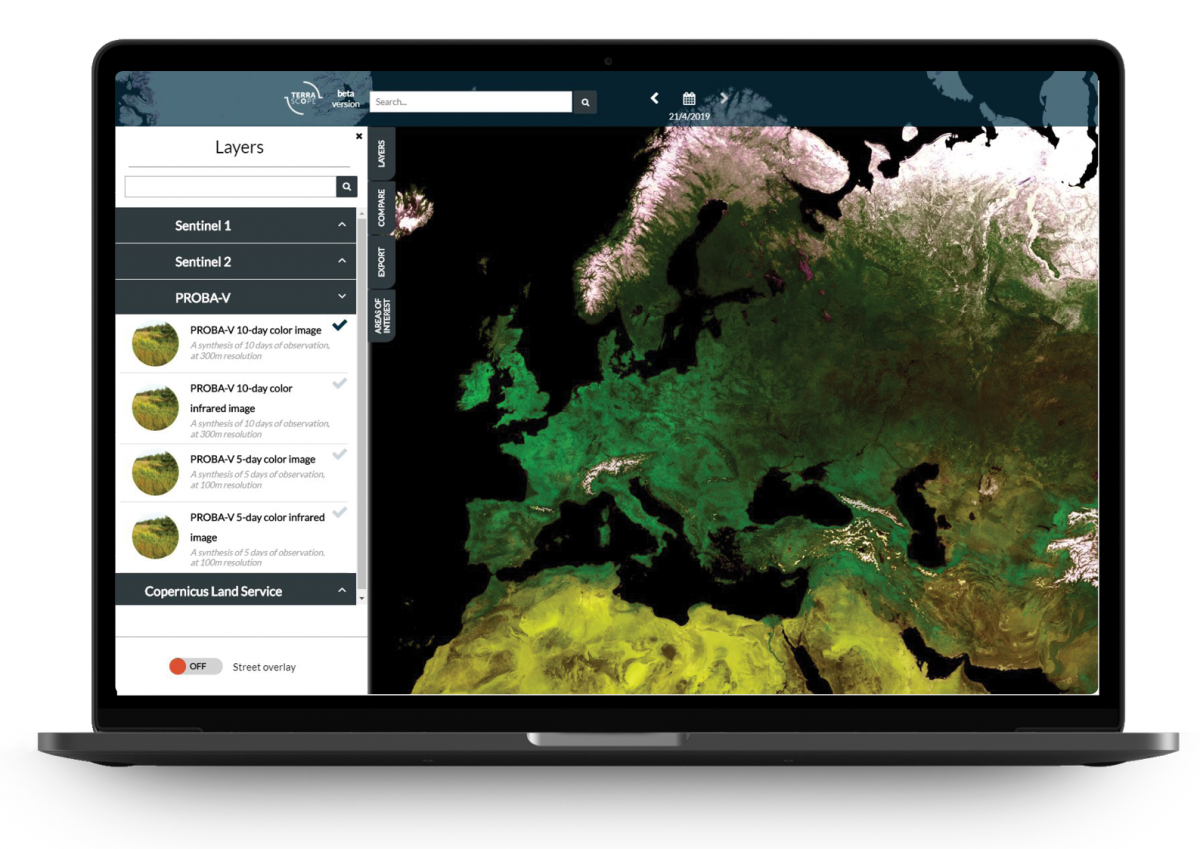
Color: 10 days
- global synthesis over 10 days
- resolution of 300 metres (1 pixel = 300 bij 300 m)
Color + infrared: 10 days
- global synthesis over 10 days
- resolution of 300 m
Color: 5 days
- global synthesis over 5 days
- resolution of 100 meresr (1 pixel = 100 bij 100 m)
Color + infrared: 5 days
- global synthesis over 5 days
- resolution of 100 metres (1 pixel = 100 bij 100 m)
