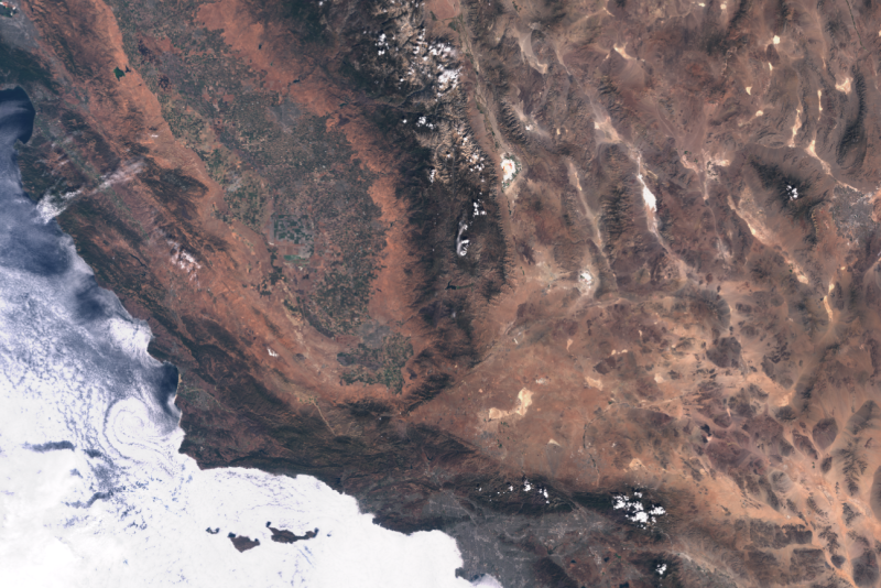
Land and sea data from space
Sentinel-3 delivers highly accurate and reliable optical, thermal and altitude data for marine and land use. The Sentinel-3A and -3B satellites measure the topography of the sea surface, the temperature at sea and on land, and the colour of land and ocean.
Sentinel-3 images achieve a resolution up to 300 m
Synergy - SYN-VGT
- has the objective to ensure continuity with Spot-Vegetation and the PROBA-V programme (from 1998 to this day)
- is suitable for monitoring vegetation parameters and land use
- contributes to climate study and research on worldwide food safety
Land Surface Temperature - LST
- provides the radiative skin temperature of the land derived from solar radiation
- is a basic determinant of the terrestrial thermal behaviour
- contributes to climate study and land monitoring

