Satellite images for a flawless infrastructure

Infrastructuur intro

Make sure that tunnels and bridges stay robust

Hundreds of thousands of people rely on a safe and flawless infrastructure. Satellite radar data intercepts the slightest deviation in the stability of bridges, tunnels, dikes and even heritage sites. The result? Infrastructure that stays strong.

2.500 tunnels in 1 image

Stable concrete structures

What if a tunnel, bridge, dike or other concrete structure only shifts a tiny bit? You will be able to detect it using satellite data and keep the infrastructure stable and in peak condition.

A clear view of bridges and tunnels

Belgium boasts over 8,000 bridges and tunnels. Our satellites capture them in a single, frequently updated image. And they take into account weather conditions. The result? A clear view of our road network.


view the infrastructure

For safe and trouble-free traffic

Satellite imagery combined with regular inspections and maintenance repairs? This results in a safe and secure infrastructure, and trouble-free traffic in the long term.
Satellites for Infrastructure applications

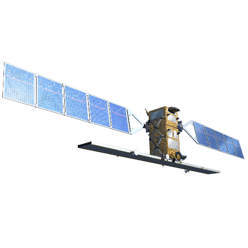
Sentinel-1

Sentinel-1

Day and night. Rain or shine. The reliable Sentinel-1 always delivers usable radar data.

Sentinel-5P

Sentinel-5 Precursor is designed to daily observe and monitor various atmospheric components and air quality.

Previous
Next
stay up to date!
subscribeto our newsletter
new perspectives

Stay up to date!