WatchITgrow improves cultivation with satellites
Keeping an eye on crop growth? Until recently, this was quite the challenge. For example, how did you know which parts of the ield needed extra fertiliser or water? The WatchITgrow app makes it possible to monitor parcels efficiently, to adjust and improve cultivation in a sustainable way. Satellite imagery tells the whole story.
improve sustainable harvesting
Monitor from seed to harvest
WatchITgrow is a collaboration platform for everyone in the agricultural sector. The long-term target? To improve potato and crop farmers' yields.
WatchITgrow is an initiative by Boerenbond, Belgapom and VITO.
WatchITgrow provides insights for:
- Growers
- Contractors
- Advisors
- Buyers
- Suppliers
- Easily locate parcels
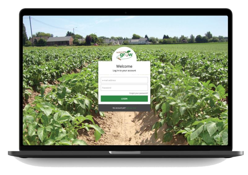
Farmers first create a personal account on WatchITgrow. Subsequently, they search for their parcels and draw them on the map – all by means of a user-friendly interface.
- Wealth of data
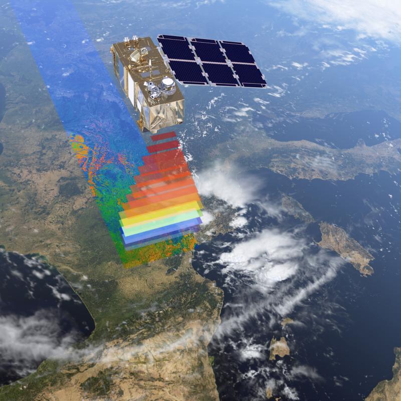
WatchITgrow combines a variety of data, including satellite imagery, weather, soil, IoT and field data. In this way, the platform generates information on crop growth and health, among other variables. The satellite data originates from Sentinel-2 and Sentinel-1 – the latter even collects information when the skies are overcast.
- Efficient monitoring
With WatchITgrow farmers are able to efficiently monitor vegetables and arable crops. The app makes it easy for them to keep track of information about their fields and to create personalized application maps. These are useful for variable fertilisation or irrigation and the variable dosage of haulm stripping agents in potatoes.
The result? An improved and more sustainable yield harvest.
What you gain by using WatchITgrow
- Receive current, accurate and objective information on your fields
- Keep an overview of the health of your crops.
- Take specific actions as soon as necessary
- Limit production or quality losses
- Increase your yields
- Compile and manage your data securely on a user-friendly digital platform
"Thanks to WatchITgrow, I can check with the farmer in the winter which parcels are suitable for potatoes and which are not.”

100,000
Belgium boasts a total of 100,000 hectares of potato fields
36.6
With WatchITgrow, the potato yield can rise an average of 44 to 60 tonnes per hectare – an increase of 36.3%.
500
more than 500 Belgian users

Sentinel-1
Thanks to the Sentinel-1 satellite, WatchITgrow is able to provide information in overcast conditions.

Sentinel-2
Multispectral imagery from the Sentinel-2 satellite shows how fields change during crop growth.

CropSAR
The CropSAR technology makes it possible to monitor the status of crops on a regular basis, regardless of the weather conditions. CropSAR uses the radar data from Sentinel-1 for observations during crucial phases of plant growth.


