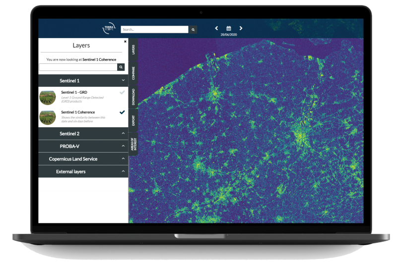
New Sentinel-1 Coherence data available
As of July 1, 2020 you are able to access coherence data products via our EO viewer. This new type of data is particularly interesting for:
- Making land cover maps
- Detect changes of time over time
- Crop monitoring
Coherence products can support you to for example find affected areas after a natural disaster or detect mowing or ploughing in crop monitoring.
Coherence is a measure of similarity between two Sentinel-1 overpasses, separated by 6 days. If the objects are exactly the same, coherence equals 1; if they are totally different, coherence is 0. So, built-up areas will have high values, and vegetation will yield lower values (because it grows, is affected by wind, …). In crop monitoring, harvesting can be detected, because the bare soil that is left is very similar 6 days later. So, the low coherence values of vegetation are replaced by high coherence values of the bare soil.

