Terrascope's connection with openEO and the Copernicus Data Space Ecosystem
22 April 2024
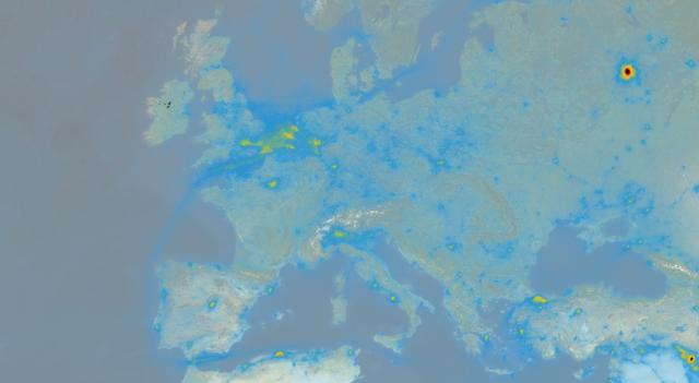
Discover more about the connection between Terrascope and the Copernicus Data Space Ecosystem to leverage infrastructure, emphasizing local user enablement, and incorporating advanced technologies like AI.