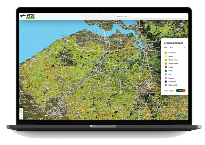
All parcels gathered on 1 screen
Proactive collaboration between government and farmer
Is a parcel eligible for subsidies? Is there sufficient variety in the crops? Our recent satellite imagery will tell you. This is useful for the decision-making process. In addition, it streamlines the consultation between farmer and authority.
Input for pricing and damage analyses
With satellite imagery you can see more than with the naked eye. It delivers quick and frequent information about your crops and even allows you to see through the plants. In this way, you can always access frequent and objective information to predict the harvest or price evolution, or to record drought or storm damage.
Objective view for optimum harvest
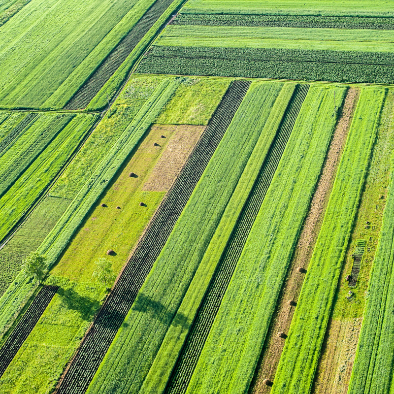
As a farmer, you use satellite imagery to monitor the growth and health of your crops. This also provides you with an objective view of how e.g. corn, wheat or potatoes are doing in the middle of your field. You will be able to take timely and specific actions and thus be able to reduce the use of pesticides.
