Terrascope used in new ESERO Climate Detectives course
11 October 2022
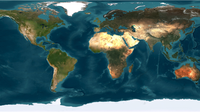
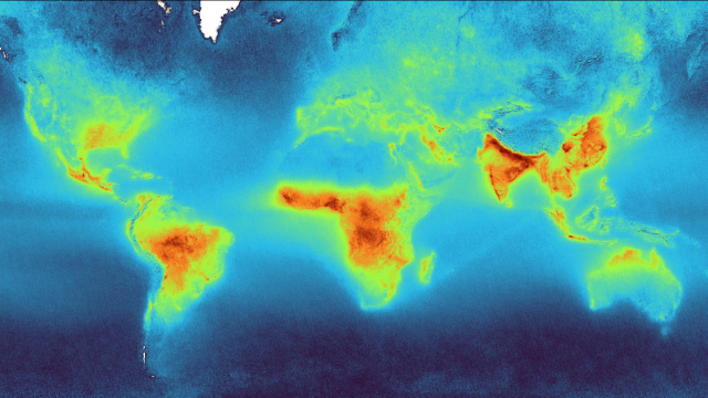
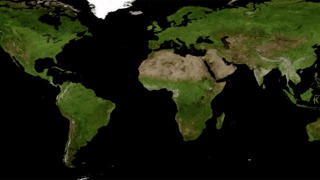
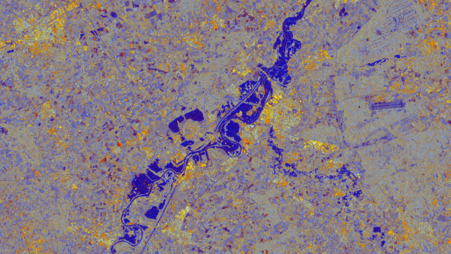
ESERO Belgium, the educational programme of the European Space Agency in Belgium, uses Terrascope in its brand new courses for secondary education. The goal is to learn secondary school students the added value of using EO data to improve climate change monitoring. The trainings include material to investigate a concrete climate-related problem – in this case flooding event in 2021 in the Yser Valley.