Learn more about Earth observation through new STEM teaching module
20 September 2021
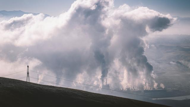
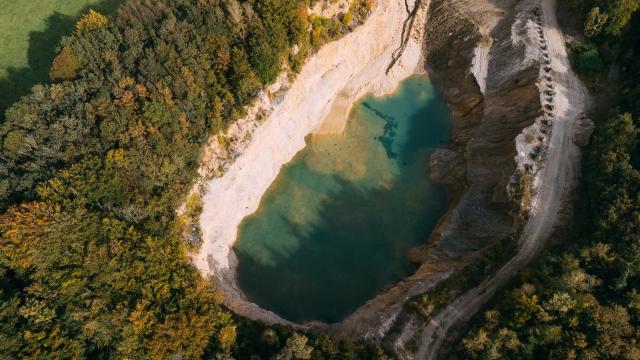
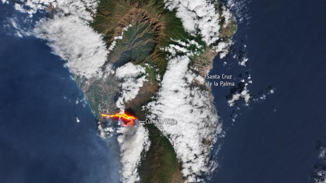
Climate change, sustainability, ecology,… These are all extremely important topics. But how can we make our society more sustainable to keep our planet a healthy and livable environment?To take the right actions, we first need to know the Earth's status. Through a brand new STEM teaching module (available in Dutch), students can easily identify the use and importance of remote sensing to monitor our Earth and create a more sustainable environment for everyone.
Satellite data visualizes flooded areas in the east of Belgium
15 July 2021
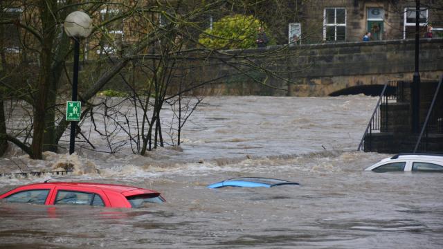
Sentinel-1 satellite, capable of observing the Earth under cloudy circumstances, shows the effects of exceptionally persistent and heavy rainfall that fell over the Ardennes, Eifel, and her surroundings in Belgium, the Netherlands, and Germany. Discover two Sentinel-1 images, of 9 and 15 July 2021, clearly showing the flooded areas of the Meuse river and her tributaries.

We are proud to add the Copernicus Digital Elevation Model to our list of available datasets. You can now easily access two publicly available versions of the Copernicus DEM, the GLO-30 and GLO-90, via our EO viewer.
Discover TerraCatalogue, our Catalogue Web Service
8 June 2021
Digging into our datasets is made easier for Python developers! The TerraCatalogue allows you to search through the available datasets via the web service or Python client.
Are you interested in new, streamlined approaches to access satellite data and big Earth observation processing datasets without any operational hassle? View the recording of our openEO webinar and learn how it simplifies working with Earth observation data, which new possibilities it offers and see it in action in real world use cases on the Terrascope platform.
Also in 2021 we’ll keep improving our data offer, EO viewer and image processing web services. Discover the new data, features and services you can expect in the upcoming months.
You can now also access Sentinel-5P air quality data via our Terrascope services. Use our EO viewer to easily survey daily, monthly, and yearly averaged NO2 and CO column densities at an unprecedented sub-urban scale.
Terrascope uses necessary cookies. In order to optimize your user experience on our website, we also want to use optional cookies for which we ask your permission.