New data products for marine applications and air quality monitoring
10 February 2025
BELSPO has allocated funding for two projects aimed at enhancing data services within Terrascope. This development will enable the operationalization of research findings from Belgian federal scientific institutes, making them accessible to the public.
We have phased out our old sso endpoint sso.vgt.vito.be. If you are still using this in the TerraCatalogue client, please switch this to sso.terrascope.be or update to the latest version of the client.
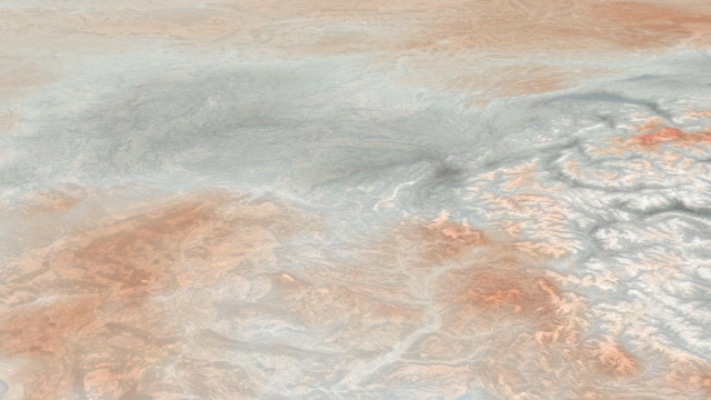
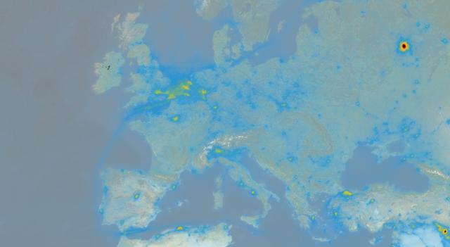
We are pleased to announce that you can now access three new air quality data products via our Terrascope viewer and processing services: an improved NO2 product, ground level NO2 concentration and sulfur dioxide (SO2). Discover more about these new data products derived from the Sentinel-5P satellite.
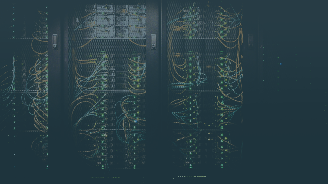
Migration and shutdown of Terrascope virtual machines
11 October 2024
In the interest of keeping our platform up to date and secure, we will be deploying new versions of all existing Terrascope Virtual Machines and shutdown old VMs from 30 November 2024. Discover more about the impact of this update on (your) virtual machines.
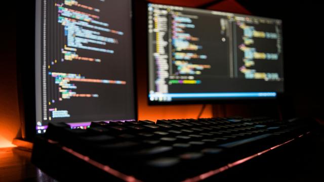
Terrascope services, for basic and advanced data processing workflows
13 May 2024
Terrascope offers a wealth of Earth observation data and processing services. Discover which services are available for everyone free of charge and how to request additional resources for large scale processing.
Terrascope's connection with openEO and the Copernicus Data Space Ecosystem
22 April 2024
Discover more about the connection between Terrascope and the Copernicus Data Space Ecosystem to leverage infrastructure, emphasizing local user enablement, and incorporating advanced technologies like AI.
Terrascope uses necessary cookies. In order to optimize your user experience on our website, we also want to use optional cookies for which we ask your permission.